


homeroots home decor
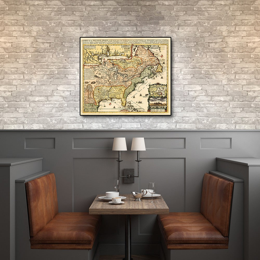
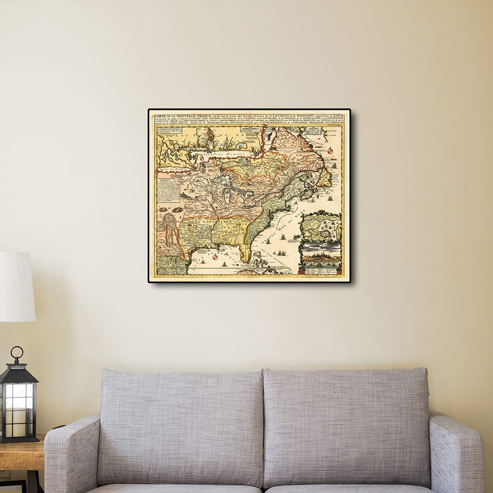
20" x 24" Vintage 1718 Map of New France
20" x 24" Vintage 1718 Map of New France
Regular price
$27.90 USD
Regular price
Sale price
$27.90 USD
Unit price
per
Couldn't load pickup availability
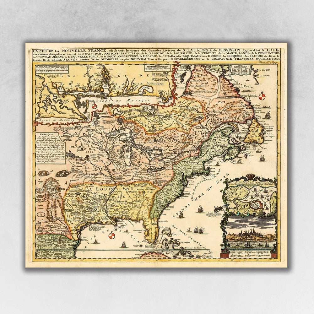
Carte De La Nouvelle France translated, Map of New France, originally published in 1718 is a classic reproduction vintage map by Henri Chatelain. This print shows the inhabited parts of North America as of the early 1700s. This map, based on the 1699 voyage of Pierre Le Moyne d'Iberville. An inset in the top left features the Mississippi Delta and Mobile Bay. The inset in the lower right includes a plan and view of Quebec Canada. Vignettes and notes throughout the map highlights many points of interest. Printed on heavyweight matte art paper, this vintage looking historic map poster is ready to frame, mount, or display as a poster directly on the wall.
Color: Tan
Material: Paper
Finish: Matte
Style: Traditional
Size:
Dimensions: 24(H) x 20(W) x 0.1(D)
Color: Tan
Material: Paper
Finish: Matte
Style: Traditional
Size:
Dimensions: 24(H) x 20(W) x 0.1(D)